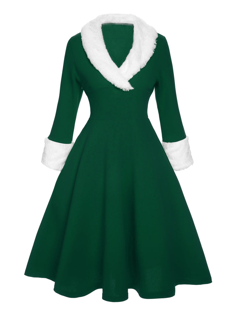
Pay in 4 interest-free payments of $37.25 Learn more
Shipping Estimate
USA
- USA
- CAN
- USA
- CAN
Ships within 48 hours · Estimated delivery Nov 5 - Nov 10
Pay in 4 interest-free payments of $37.25 Learn more
Ships within 48 hours · Estimated delivery Nov 5 - Nov 10
Clair River is a standard navigation chart used by commercial and recreational mariners alike
Written for seagoing engineers
reference to quadrantal notation replaced by 360-degree notation
5 Testing and Calibration of Instruments
C-Map Max Chart SA-M906: Rio De Janeiro To Rio De La Plata North & Central Europe Clair River is a standardOverview Overview C MAP MAX electronic charts have been a worldwide standard for years, providing cruisers, sailors and fishermen with the accurate, up to date chart data they need to enjoy each day on the water. Still a leading choice of navigators and chartplotter manufacturers around the globe. Updated twice annually to provide all the latest detail and information Compatible with dozens of chartplotters from top manufacturers Extensive coverage of
US$ 465.30
US$ 135.30
US$ 30.99
US$ 18.99
US$ 118.30
US$ 421.30
US$ 17.42
US$ 76.97
US$ 16.49